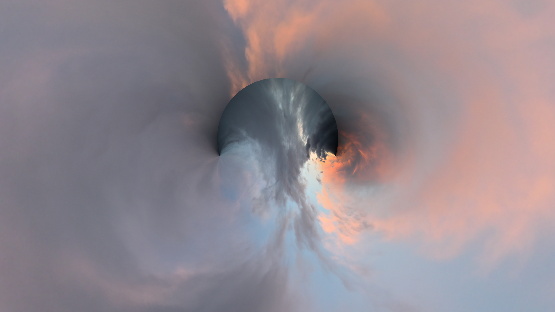
Produced from photographs manipulated using mapping projections, Skyscapes explores the distortions of form and scale that are embedded in maps. For centuries, cartographers have wrestled with the impossible problem of representing a curved surface on a flat screen or plane. Constructed from an aerial view, a map is the result of a flattening process or mapping projection that includes unavoidable distortions in form and scale, as well as the biases of the mapmaker. Reversing this cartographic gaze, Skyscapes is a new video series by Evan Roth that explores the sky around the artist’s home in Berlin. Translating these images through historical mapping algorithms dating from 150AD, Skyscapes attempts to communicate the complex relations between bias and home.